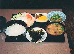
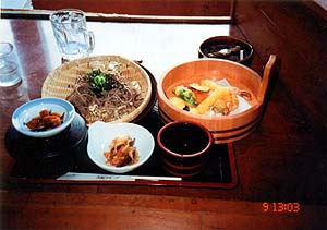
Let's eat "udon" in Nakatsue Village
(Total Data, Day 1, 2, 3, 4, 5, 6, 7, 8, 9, 10)
Last updated on Jan. 03, 2005
 |
 |
||||
| - | |||||
| - | |||||
 |
|||||
| - | |||||
| - | |||||
 |
 |
||||
| - | |||||
 |
|||||
| - | |||||
 |
 |
||||
| - | |||||
 |
|||||
| - | |||||
| - | |||||
 |
|||||
| - | |||||
 |
 |
||||
| - | |||||
 |
|||||
| - | |||||
| - | |||||
 |
 |
||||
| - | |||||
 |
|||||
| - | |||||
| - | |||||
|
|||||
| - | |||||
 |
 |
||||
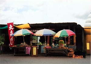
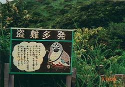
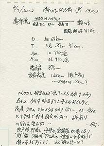
(PM 4:30) Who stoles here?! |
(PM 5:34) |
||||
| - | |||||
| - | |||||
 |
|||||
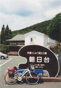
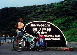
(prefecture) |
|
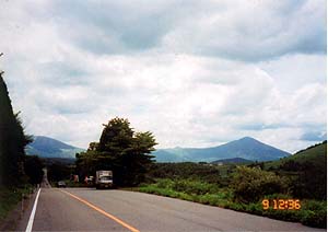
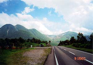
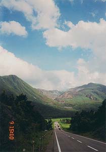
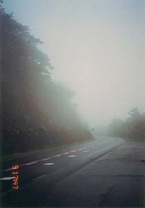
It is still climbing, but there are many flat roads. It is very good scenery and comfortable. It is recommended. |
|
[charge] |
[forgot. Sorry.] |
 I was so relax at Yufuin and the start was late. I was so relax at Yufuin and the start was late.But today, there are more flat roads than yesterday. Over 700m height, it was cool. After the top of the pass, it starts raining, mist and sunset! It was a survival riding to Senomoto. I had done something wrong in my daily life?! |